
Drone Surveys
At Corner Point, we utilise advanced drone technology to deliver fast, accurate,and cost effective aerial data capture. Our UAV surveys provide a safe and efficient way to access hard to reach areas while maintaining high levels of precision and detail.
From small scale sites to large developments, our drone services support a wide range of industries including construction, engineering, and land development.

Our Services:
We offer a comprehensive range of drone survey solutions, including:
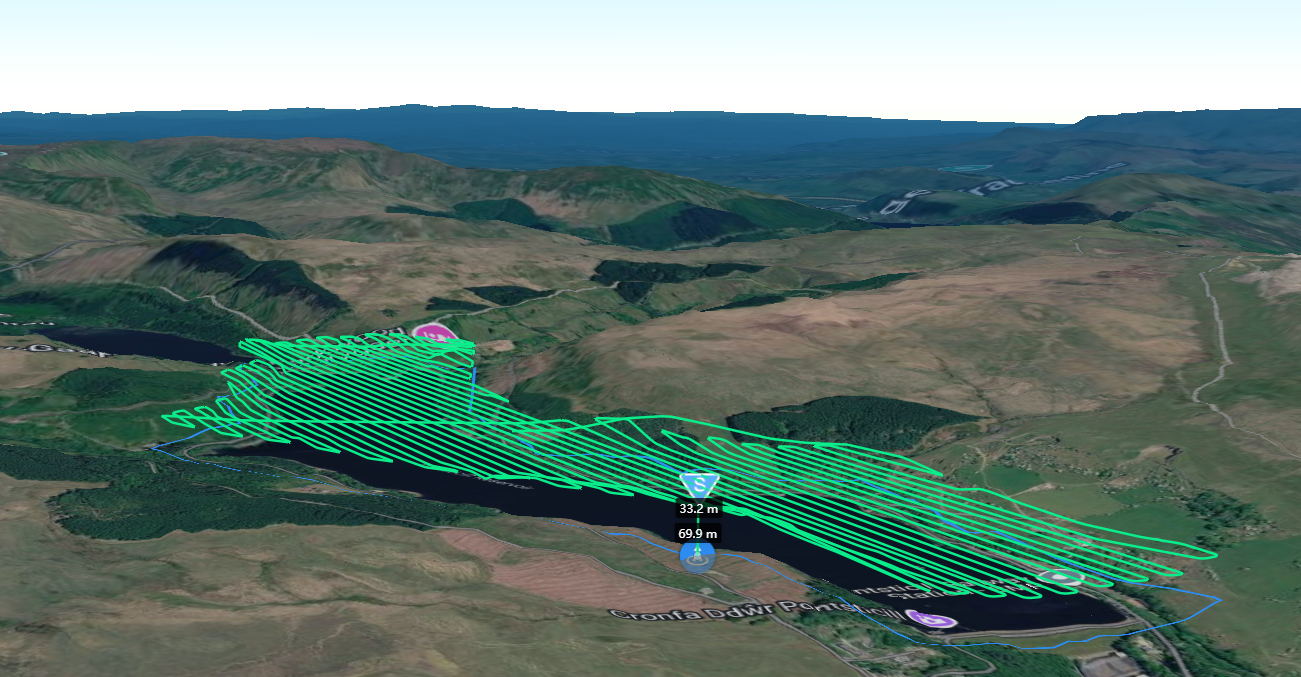
Mapping
High resolution aerial mapping to support planning, design, and site analysis.
Inspections
Safe and efficient inspections of buildings, roofs, structures, and infrastructure without the need for scaffolding or access equipment.
Progress Monitoring
Regular site flights to track construction progress and provide clear visual updatesmfor stakeholders.
Volumetric Calculations
Accurate stockpile and earthwork volume measurements for better project control and reporting.
3D Modelling & Point Clouds
Detailed 3D models and point cloud data for use in CAD and BIM workflows.
Site Flyover Video and Photography
High quality aerial imagery and video for marketing, reporting, and project documentation.
Qualified & Compliant
We are fully qualified and operate in accordance with current aviation regulations, holding both GVC and A2 CofC certifications. This ensures all work is carried out safely, legally, and to the highest professional standards.
Got a Question? Want to tell us about a Project?
We are here to help.
029 2280 0100
info@cornerpointsurveys.co.uk